DMG presents
Extreme Urban Mapping Webinar
“Point and Shoot” Simplicity with RTK, Lidar, and Laser
September 23, 2026

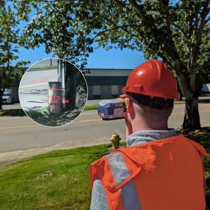
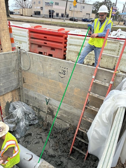
About 80% of an organization’s assets can be accurately mapped using traditional high-accuracy GNSS techniques—but what about the remaining 20%? If you have faced challenges collecting data in urban canyons, parking garages or heavy tree foliage, this webinar is for you.
Join us for a free 90-minute webinar and virtual field demonstration of a new, patented mapping technology. You'll see how sensor fusion with GNSS, RTK, LiDAR, tilt, and other sensors are transforming workflows in popular apps (e.g., ArcGIS® Field Maps) and cutting-edge apps, like the new FastXY. By the end, you'll have a better understanding of how to enable field technicians to map at high accuracy in any environment.
In this webinar, you will learn:
-
How fusing sensors with GNSS is already transforming field mapping, and how to take advantage of this to map assets in GNSS-denied environments.
-
How to easily adopt sensor-fused GNSS technology into your existing workflows.
-
Best practices and methods for storing sensor metadata in your geospatial database
Special thank you to our partners:

.png?width=600&height=200&name=partners-logos%20(1).png)

Products and Services
This webinar highlighted these technology selections:- TruPulse - Laser Rangerfinders
- FastRTK and FastRTK2Go - Base Stations
- Skadi LR - Long Range Solution
- Mapstar® Truangle® II - Angle Encoder
- FastXY - Data Collection Software
- ArcGIS Field Maps - Data Collection Software