Mobile platforms (iOS/Android) continue to increase in computing capacity. The phone in your pocket can now run complex engineering software. Yet most surveying solutions rely on non-mobile technology.
According to industry research from FMI Corporation, the Architecture, Engineering and Construction (AEC) sector loses an estimated $177.5 billion every year to non-productive tasks like hunting down project files, resolving site conflicts, and re-doing work.
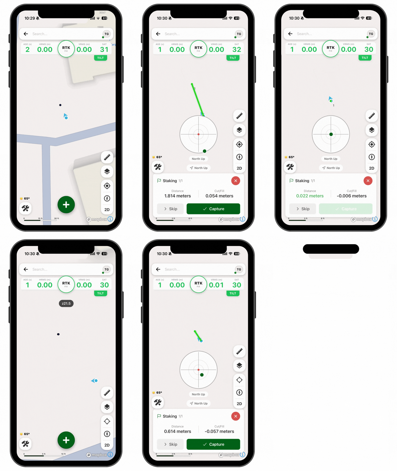
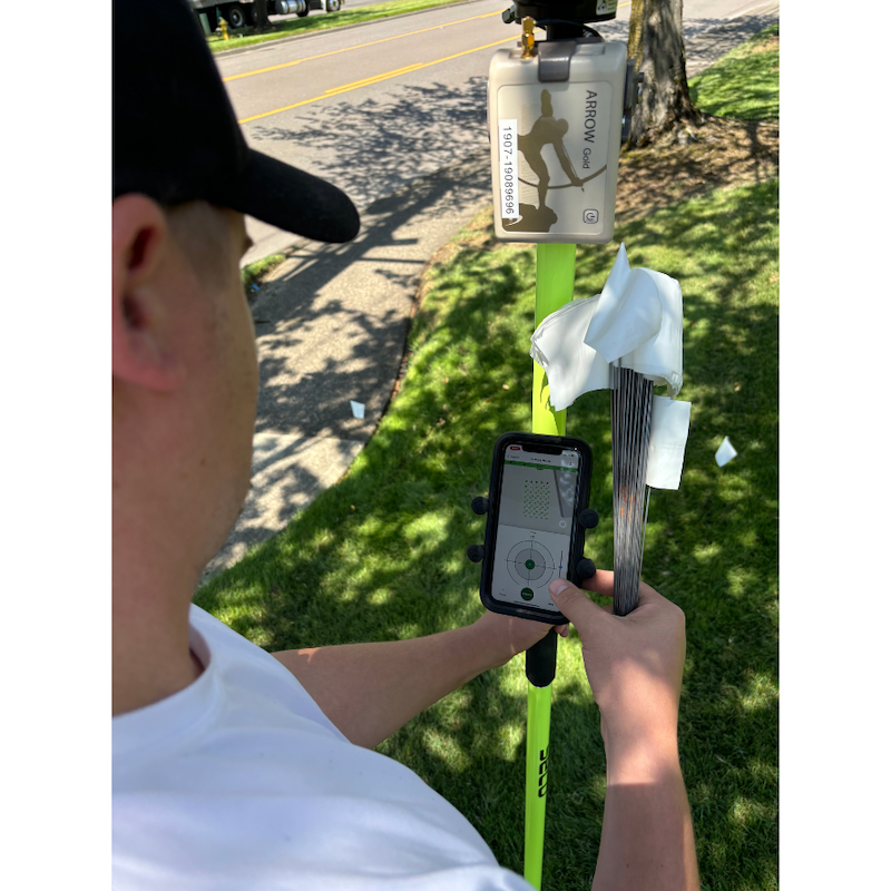
Enter FastXY, a powerful mobile application built specifically for the high-accuracy GNSS used in construction and engineering field operations. Site workers can perform staking and topographic surveying on demand. Field crews can import or export CAD files and GIS data, using any type of coordinate system. Add to this benefit, the ability to use these options as an overlay with a 3D terrain basemap, an internally owned drone aerial, a USGS topo map or any GeoPDF image and it is easy to see why FastXY can deliver precise measurements in construction.
Join us as we explore common ways to streamline construction staking and topographic data collection, and save valuable crew hours turning the mobile devices in the crews’ pockets into powerful site verification tools.